A Self-Driving Guide to the East Fjords
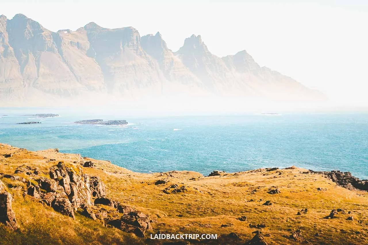
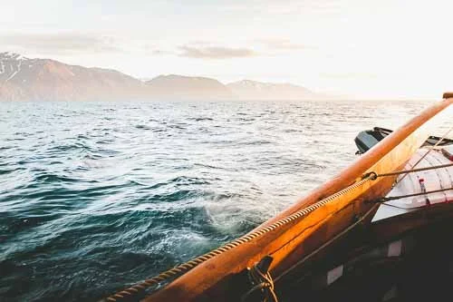
With views like this, it didn't take us too long to fall in love with the East Fjords.
It took us a few days to reach the East Fjords from Reykjavík, but we were finally there and couldn't wait to explore!
Dramatic fjords, steep cliffs, snow‑capped mountains, fishing villages, nesting puffins, scarcely populated areas, rugged coastline, black sand beaches, empty roads, roaring waterfalls, artsy towns, and one big region wrapped in myth with winding scenic roads and amazing views around every corner. All of this and more waited for us on our journey through Iceland's Austurland.
Like everyone touring the Ring Road, we had to drive through this part of Iceland. But unlike the many travelers who just passed through, we wanted to slow down and explore the most dramatic corner of the Eastern Region, at least as much as our schedule allowed. We already knew it was one of Iceland's least populated regions, with more square kilometers than people, and we knew its coastline was lined by fjords.
Sure, the South Coast we explored earlier had amazing scenery too, plus famous spots like Seljalandsfoss and Jökulsárlón, but there was something about the East Fjords that kept pulling us in, and we couldn't quite explain it.Maybe it was how secluded the region felt, maybe it was the fjords themselves. What was certain was that we couldn't wait to hit the road!
Tips for Visiting East Fjords
Because the East Fjords sit in Eastern Iceland, it took us three days to reach them from Reykjavík on the opposite side of the country. Our plan for exploring the region was to start in Djúpivogur early in the morning and follow the scenic coastal route through the fjords all the way to Egilsstaðir.
From Egilsstaðir, we wanted to take three side trips. First was Seyðisfjörður, known for its picturesque town tucked inside a 17‑kilometer‑long fjord. Then we planned to hike to Hengifoss. And finally, we wanted to end our day in Borgarfjörður eystri to see the puffin colony. After that, we would return to Egilsstaðir one last time, marking the end of our journey around the East Fjords.
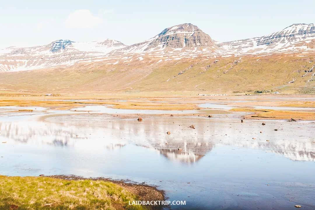
For such a remote part of Iceland, the East Fjords were surprisingly easy to explore by car, which let us enjoy the trip even more than we expected.
This plan meant driving about 450 kilometers, which was pretty ambitious, even for us. Unlike Reykjanes or Snæfellsnes, the East Fjords aren't a loop, so we had to pass through Egilsstaðir over and over again. The upside was that we were here in summer, which meant we could take advantage of 24/7 daylight. We could start early and stay on the road until midnight.
Another thing that made this whole adventure possible was the great weather. Without it, we would've had to compromise. We wanted to take two scenic drives across mountain passes, and while they're amazing on a sunny day, they wouldn't be enjoyable in rain and clouds. Driving them in bad conditions would've been challenging too.
We had a backup plan in case the forecast was wrong, which included the coastal drive between Djúpivogur and Egilsstaðir to at least show us something of the East Fjords. That would've been just a 150‑kilometer drive instead of the 450 we did. Luckily, the weather held and we could do the whole road trip exactly as we wanted.
How Much Time to Set Aside for East Fjords
On the first day, we arrived in the East Fjords, took a bath in Djúpavogskörin Hot Springs, and briefly explored Djúpivogur in the evening. We spent the (very long) next day exploring the East Fjords, and finally on the third day, we traveled back from Borgarfjörður eystri to Egilsstaðir. You could say we spent two nights and three days in the East Fjords, but practically speaking, it felt more like two full days.
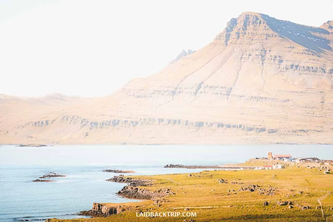
We had about two days to explore the East Fjords, but it didn't take long for us to wish we had more time.
We also have to admit that on the second day, we hit the road before 7 AM and finished just before midnight. That was only possible in summer thanks to the midnight sun. Had we arrived in October or March, we would've had to completely rethink our itinerary. This day ended up being one of the longest of our entire trip simply because we wanted to take advantage of the beautiful weather. The previous day and a half had been full of rain, and once the skies finally cleared, we were eager to see as much as possible because we knew our luck wouldn't last forever.
And honestly, for a first visit to the East Fjords, this was the sweet spot. We saw everything we realistically wanted, and more importantly, we enjoyed the trip. Of course, I wished we could've stayed longer. There was so much more to do, like spending a night in Seyðisfjörður, hiking in Borgarfjörður eystri, driving to Mjóifjörður, or even visiting Neskaupstaður. But for all of that, we'd need at least two more days, which we simply didn't have. Then again, you could say the same thing about pretty much every other region.
Getting Around East Fjords
Because we traveled in summer, we rented a small 2WD campervan for our journey around the East Fjords. For the itinerary I already outlined, it was more than enough. Most of the roads we used were paved, with only a few exceptions. But that's changed since our visit, and the roads that were once gravel are now paved, like the one to Borgarfjörður eystri or the one along Lagarfljót. Outside the summer season, especially in winter, we would've opted for a 4WD car, and not just for this region but for the entire Iceland road trip.
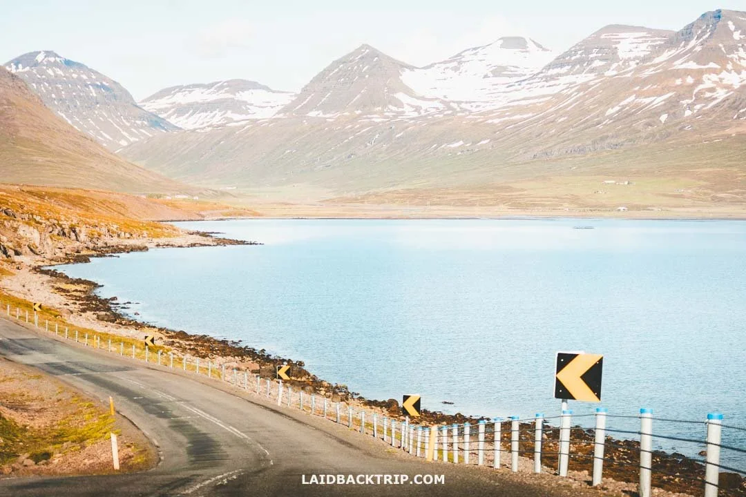
In summer, all the roads we encountered in the East Fjords were very easy to drive on.
Because we drove about 450 kilometers, we could've easily covered that distance on a single tank. There was a gas station (and EV charging stations) in pretty much every village or town, usually 50–80 kilometers apart, so getting fuel in the East Fjords wasn't difficult. The only place we actually filled up was Egilsstaðir, mostly just to be safe rather than because we were low.
We really didn't consider traveling around the East Fjords without a car simply because of how we planned the trip. Sure, it's possible to reach Egilsstaðir by bus, whether from Reykjavík or Akureyri, and from there even get to Seyðisfjörður, but we would've completely missed Hengifoss and Borgarfjörður eystri.
Another option would be taking a multi‑day tour, unless you're visiting the East Fjords on a cruise day trip. But again, we prefer traveling on our own, and the East Fjords were almost the perfect destination for that.
Road 1, Road 95, or Road 939
Because we started in Djúpivogur and our goal was to reach Egilsstaðir, we basically had three routes to choose from. It wasn't a tough decision, though, because we wanted to see the fjords, so we simply followed Road 1 along the coast. Road 939 was fully unpaved, and even though it showed that we'd save almost half the distance, I'm pretty sure the journey across the Öxi Pass would've taken longer than the coastal route.
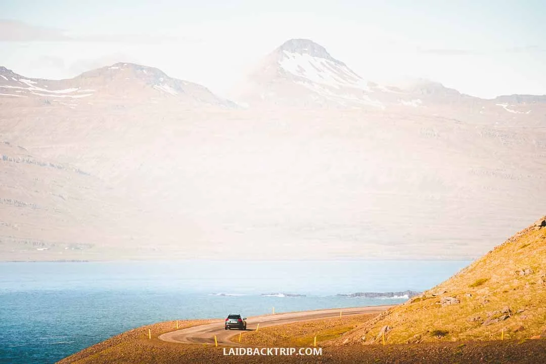
Between Djúpivogur and Egilsstaðir, we just stayed on the coastal stretch of the Ring Road to see all the fjords.
Road 95 was partly paved, but again, we didn't see any reason to take it since we wanted to stay by the coast. Another funny thing was that the navigation showed faster times for both of these roads, and in the case of Road 939, even half the distance between the two towns, but I'm convinced neither of these routes would've saved us any time. If anything, they would've slowed us down.
When to Visit the East Fjords
We traveled the East Fjords at the end of June, which meant we could see this region at the start of summer. And while I think this part of Iceland would be beautiful any time of year, early summer had a lot of advantages. The biggest one, long days, I already mentioned
We were there during Iceland's longest days, meaning that when we finished our second day around midnight, there was still enough light that it felt almost like daytime. It meant we could stay on the road for nearly 17 hours. I know that sounds like a huge number, but we took breaks, so it was manageable. Since we had a campervan, we could park whenever we needed (on designated lots, of course) and take a break, even a short nap.

We got lucky and traveled around the East Fjords on a beautiful summer day.
Because we visited the East Fjords just before the start of peak season, we could see some places without crowds (yes, even remote spots in the East Fjords do get crowds). With so much time on our hands, we could make spontaneous decisions and add stops simply because it felt like we'd never run out of daylight. We also noticed that for the past three days or so, we kept running into familiar faces at attractions since everyone had a similar itinerary up to that point and the route was straightforward. But once we arrived in the East Fjords, that changed, and we didn't see them again.
Another advantage was that we crossed two mountain passes on the second day, to Borgarfjörður eystri and Seyðisfjörður (that one we had to cross twice), and they were easy to drive because they were clear of snow and ice. Outside summer, both passes would be more challenging, and in winter, even closed on some days. And that wasn't just true for mountain roads but for many routes in the East Fjords.
Lastly, the weather was supposed to be more stable in summer around the East Fjords. While that was true on average, we simply lucked out. Had we arrived a day earlier, when it rained cats and dogs, we wouldn't have been able to explore the area the way we wanted, or the way we eventually did. There wasn't much we could've done about that, since this wasn't a long trip around South America where we had endless time, but a fairly regular vacation.
I think we would've enjoyed the East Fjords even outside summer, but we'd have to plan around shorter days and even more unpredictable weather. We wouldn't be able to see puffins, that's for sure. On the other hand, if we ever return to Iceland, I think we'd love to visit in winter to see the Northern Lights, which I have a feeling would be incredible in the East Fjords. The biggest obstacle would be snow and ice on the roads and trails. And as I said earlier, crossing the mountain passes to Borgarfjörður eystri and Seyðisfjörður could be impossible on certain days.
Things to See and Do in the East Fjords
Now that we've covered the practical tips, it's time to look at what we actually saw in the East Fjords. As the name suggests, we came to see the fjords, but it was really the combination of winding roads, sleepy towns, puffins, breathtaking sunsets, and that constant sense of remoteness that made the region so special.
The whole region was sparsely populated and has no big towns, and even though the whole route was dotted with farmsteads, small settlements, and villages, at times we felt that heavy isolation we experienced in some other places (like on the way to Uluru - Kata Tjuta National Park).
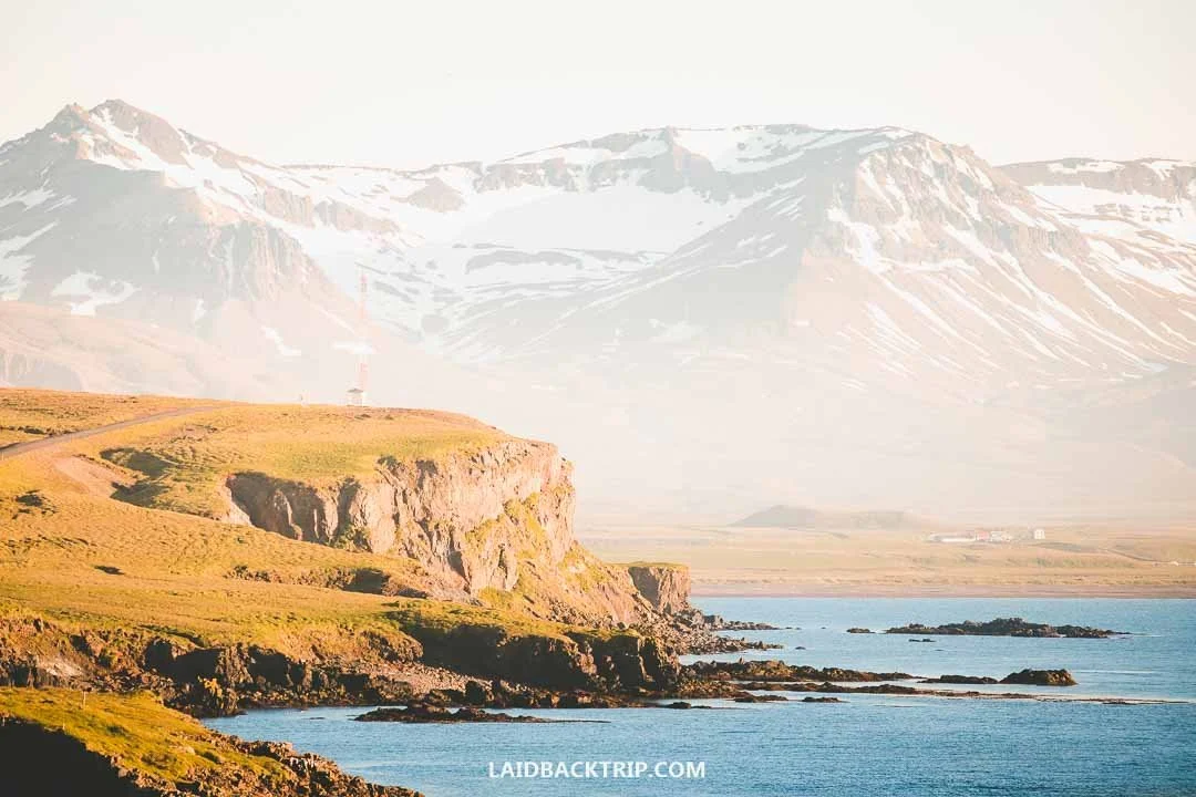
Driving along the East Fjords felt remote, but it was one of the things we loved most on this trip.
My favorite part of the East Fjords was how those winding roads led us to some of Iceland's most remote corners. The views along the way were fantastic, and at times it felt like we could just keep going forever.
Below, we share all the places we managed to visit in the roughly two days we had for the East Fjords. We definitely didn't see everything, because that simply wasn't possible, but I'm not afraid to say we saw more than the average visitor. That's why this itinerary works great for any first‑time visitor to the East Fjords, just like we were.
Soaking in Djúpavogskörin Hot Springs
After a long day on Iceland's South Coast filled with rain and violent wind gusts, we finally made it to Djúpivogur. It had been a tiring day, and because of the weather, one of the most challenging of the whole trip. Not physically, since we didn't do much besides driving, but mentally, because we had to watch such a beautiful part of Iceland disappear behind clouds and heavy rain.
There was a silver lining, though. Just before reaching town, we stopped at Djúpavogskörin hot springs. This little spot sits only a few kilometers from Djúpivogur, and after a day with such miserable weather, we couldn't have asked for a better place to warm up, meet a few new people, and just relax for a while.
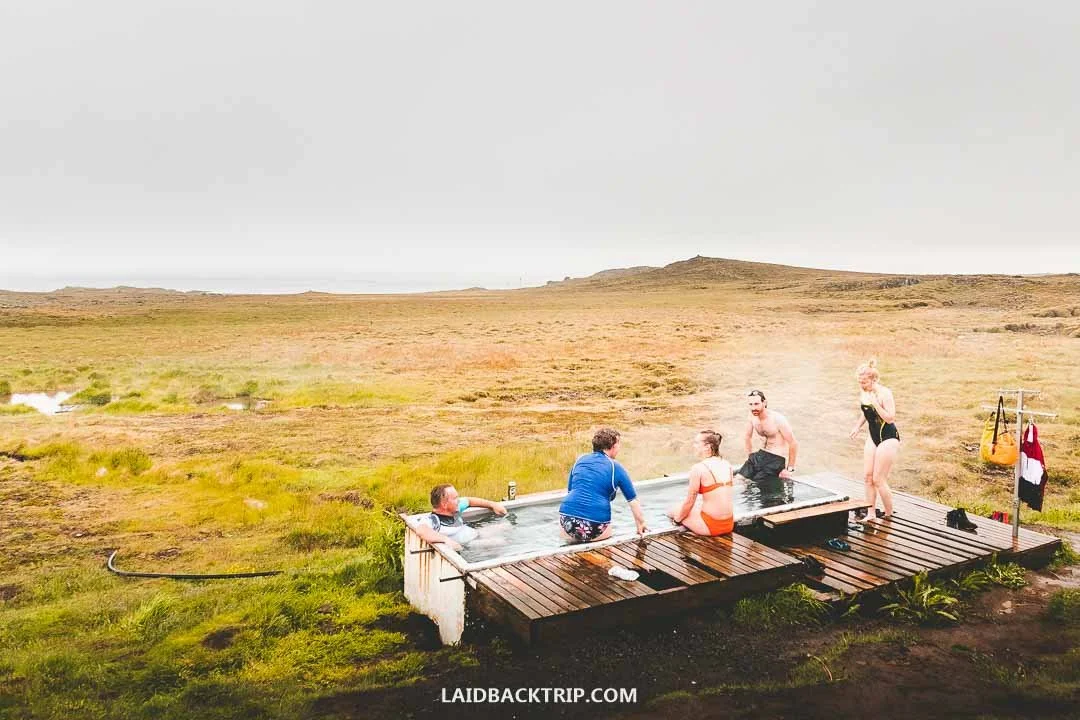
After a cold and rainy day on the road, soaking in Djúpavogskörin was exactly what we needed.
It was nothing like Blue Lagoon or Mývatn Baths. Djúpavogskörin was basically a small tub that fits maybe eight people, with no facilities at all, not even a changing screen like at Reykjadalur. We changed into our swimwear in our campervan, though there was a simple rack where we could hang our backpack, travel towels, and car keys.
Maybe it was the calm atmosphere, its simplicity, the people we met, or all of it combined, but we loved this place. It wasn't some hidden gem, but it definitely felt like we'd found one. The best part was that Djúpavogskörin was free. Unlike the more famous hot springs we mentioned earlier, or Hofsós, we didn't have to pay anything. Unfortunately, it looks like the site is currently closed, but if it ever reopens, let us know in the comments.
Spending the Night in Djúpivogur
Then we finally reached Djúpivogur itself. It's a small town, and because of the weather, it felt unusually quiet. There wasn't much to see or do, and even though the rain was starting to ease up, we weren't really in the mood to walk around. At least not that evening.
We still visited the harbor and checked out the bright red log house called Langabúð, Iceland's oldest commercial building, built in 1790. But that was pretty much it. The town had a few restaurants and hotels like Framtíð, and it also serves as the starting point for boat trips to Papey to see puffins, but since we'd see them for free later in the trip, there was no need to join a guided tour.

The first night we stayed in Djúpivogur, and the next morning we woke up to a beautiful sunny day.
We spent the night at the Djúpivogur campground, which had everything we needed at that moment. To be fair, that was basically just a flat campsite and toilets with hot showers (though we already felt warm after the hot springs). We went to bed hoping the next morning would bring good weather. The forecast promised sunshine, but after a day like this, we had our doubts.
The next morning, we woke up to what was probably the most beautiful morning of the entire trip. The forecast was right. We knew Djúpivogur had an outdoor art installation called Eggin í Gleðivík, a row of 34 giant granite eggs along the shoreline, each representing a local bird species, but we didn't find it all that interesting and hit the road as soon as we could. We were ready to explore the East Fjords.
Driving Along the East Fjords
If the drive had been scenic so far, we weren't prepared for what came next. We knew the Icelandic word "Fjörður" meant fjord, but seeing all that dramatic scenery in reality was overwhelming. On both sides were towering, steep, ice‑capped mountains, and together with the deep blue sea between them, they created incredible views. The well‑maintained road took us around these majestic fjords and left us completely speechless. Not literally, because we commented on the entire drive and everything we saw.
We passed through a few fishing villages and towns along the way, namely Breiðdalsvík, Stöðvarfjörður, and Fáskrúðsfjörður, but unlike the fjords themselves, they weren't all that interesting. Or maybe they were, and we were just too focused on the scenery. Hard to say. Pretty much every village had a campground, some accommodations, a gas station, and a grocery store. We had enough fuel to reach Egilsstaðir easily (and food to get back to Reykjavík), so we didn't need anything along the way.
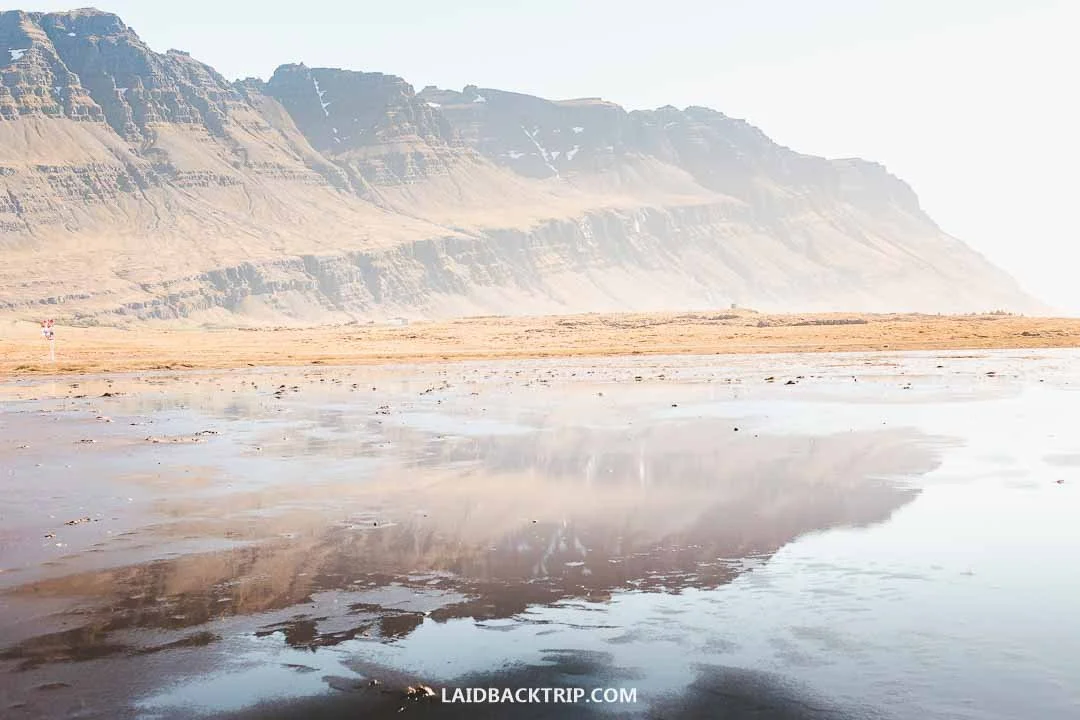
Those 150 kilometers between Djúpivogur and Egilsstaðir, winding through the dramatic East Fjords, ended up being one of our favorite stretches of the whole trip.
Because the weather was as good as it realistically could've been, the fjords felt majestic but almost quiet. After two rainy days, I was glad we could enjoy the scenery under clear skies. And while rain, clouds, and fog added a lot of atmosphere to yesterday's drive, here we enjoyed the views instead of dramatic weather.
Just before reaching Reyðarfjörður, we had a decision to make. We could've continued along Route 1 or taken a detour to Neskaupstaður, one of the largest towns in the East Fjords. It was tempting, but since we already had two similar detours planned, this one made the least sense. And the day only had 24 hours. So we turned inland and headed toward Egilsstaðir.
The funny part was that between Djúpivogur and Egilsstaðir, we could've simply driven Road 95 and avoided most of this area. It would've been different. I know that for some people that route makes sense, but I'm glad we followed the coast. The views were breathtaking. I know I've used that word a lot, not just in this post but for other places too. But I really can't find any other word for the East Fjords.
Seeing the Sveinsstekksfoss Waterfall
Our first stop was just a 15‑minute drive from Djúpivogur. It was a beautiful waterfall called Sveinsstekksfoss, Nykurhylsfoss, or Fossárfoss. Yes, this waterfall had three names, and I'm not making that up, even the official brochure listed all three. During our time in Iceland, we already struggled to remember names like Fjaðrárgljúfur and Kirkjufellsfoss, but Sveinsstekksfoss, sorry, Nykurhylsfoss, well, Fossárfoss, was on a completely different level.
After being in Iceland for a few days, it didn't surprise us that our very first stop in the East Fjords was another waterfall. And as usual in this country, it was an incredible one. The waterfall sits about 500 meters off the Ring Road. When we reached the turnoff, we took a left onto Eyjólfsstaðir, a gravel road with a steep switchback. In summer, the drive was easy, but I can imagine that in winter, reaching Sveinsstekksfoss might require snow chains.
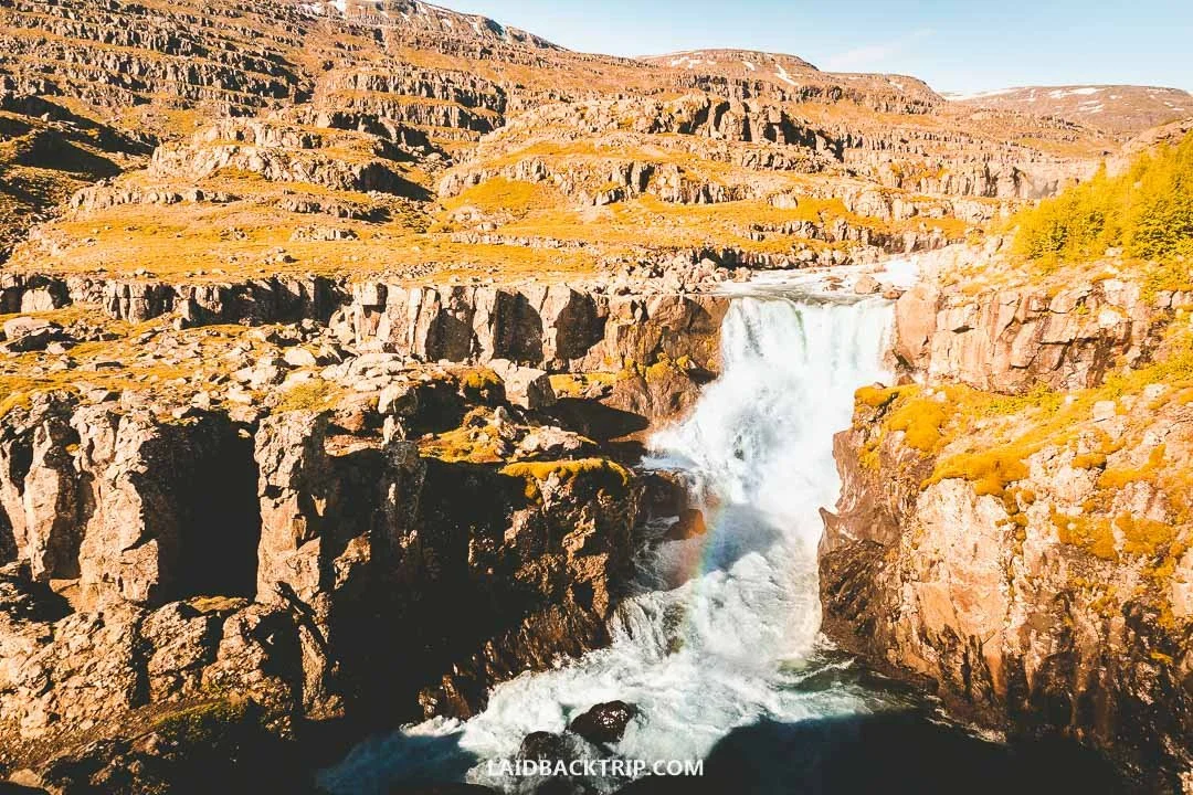
Sveinsstekksfoss was just one of the many waterfalls we came across in the East Fjords.
From the parking lot, the waterfall was only about 100 meters away. The Fossá river was raging, pushing through the narrow gorge with full force. There was no one around this early in the morning, so the viewing platform felt incredibly quiet, a striking contrast to the roaring water just a few meters ahead. It was a quick stop. There's a 2‑kilometer loop trail that leads further up the valley, but we didn't have time for it.
One thing that has changed since our visit is that the upper parking lot now has a fee of 1000 ISK. The waterfall itself is free, but I have a feeling most people, like us, would come here by car, which means the visit wouldn't be free anymore. And while we enjoyed the waterfall, without hiking the trail, I'm not sure it would be worth paying for. There's also a lower parking lot at 64.75329, -14.47853, which still seems to be free, but it's a bit farther from the waterfall.
Enjoying Views from Streitisviti Lighthouse
In about 35 kilometers, we reached another spot worth stopping at: Streitisviti Lighthouse. The funny thing was that we didn't stop here because of the lighthouse itself, which is fully automated and not accessible to the public (unlike the one at Snæfellsnes), but because of the views. The parking area sits at the end of a short dirt road, so getting there was easy.
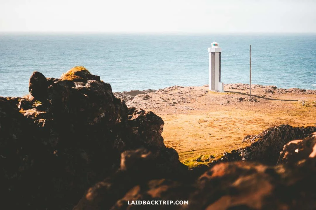
Streitisviti Lighthouse was interesting, but we really stopped for the views over the fjord, which were incredible.
We actually missed the turnoff at first, but the views just around the corner were so incredible that we turned around at the next pull‑off and came back.
There was a small trail leading toward the lighthouse, and along the way we learned a bit about the local geology, especially dikes, cracks in rock filled with liquid magma that later solidified into vertical walls. But what really drew us were the views. Maybe it was the combination of morning light and clear skies, but the scenery from here was some of our favorite in all of the East Fjords.
Passing Through Fáskrúðsfjarðargöng
Do you remember how I talked about unmemorable names? Fáskrúðsfjarðargöng, or simply Fáskrúðsfjörður Tunnel, was one of them. We entered this almost six‑kilometer tunnel after leaving Fáskrúðsfjörður and heading toward Reyðarfjörður.
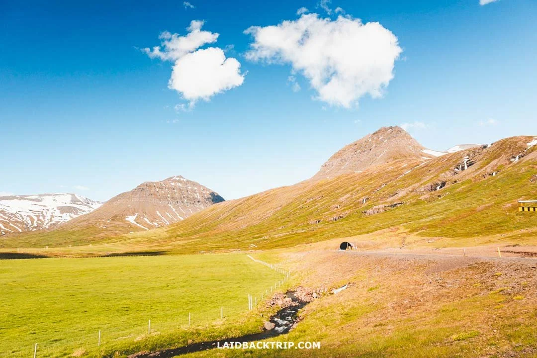
From the rest area, the entrance to the 6‑kilometer Fáskrúðsfjarðargöng looked tiny against the massive mountains around it.
The tunnel itself, apart from being longer than we expected, wasn't all that interesting. But the scenery right before we entered it was a completely different story. We loved the views so much that we pulled into a small rest stop on the left, and since we'd already been on the road for a couple of hours and felt hungry, we heated up one of our bean cans and enjoyed the landscape while eating.
Filling Up the Tank in Egilsstaðir
At the T‑junction just before Reyðarfjörður, we turned left and headed toward Egilsstaðir. As the largest town in the eastern region and the place where five main roads, including Route 1, intersect, Egilsstaðir really is the main hub of the East Fjords.
To give you an idea, we passed through it four times: first on our way to Seyðisfjörður, then to Hengifoss, then to Borgarfjörður eystri, and finally on our way to North Iceland. But aside from a quick stop at the gas station and a short visit to the Bónus grocery store, we didn't find any reason to explore the town further.
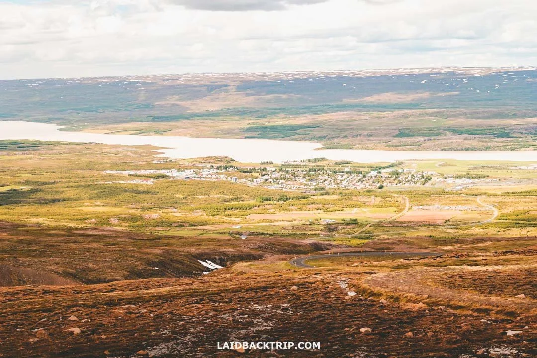
We ended up passing through Egilsstaðir a few times, which isn't surprising given that it's the most important tourist hub in East Iceland.
For us, there really wasn't much to do in Egilsstaðir beyond those two things. Sure, the town has nice hotels (check out Hotel Valaskjálf or Hotel Hallormsstaður), campgrounds (some were located outside the town), restaurants, and it serves as the gateway to the East Fjords, but as I said, we preferred staying in Djúpivogur and Borgarfjörður eystri during the two nights we spent in the region.
In a way, it reminded us of Selfoss, where we stayed on our first night after touring the Golden Circle. The town had everything from a tourist perspective, but beyond that, there wasn't any reason for us to stay longer than necessary, unlike places like Ísafjörður or Stykkishólmur.
Driving the Scenic Road 93 From Egilsstaðir to Seyðisfjörður
Since we planned our Iceland trip spontaneously (we bought tickets on Thursday and landed in Keflavík on Saturday), our itinerary looked like a messy tangle of notes that often didn't make much sense. I wrote down that we could visit Seyðisfjörður because it was often described as one of Iceland's most picturesque towns, and I added a smaller note that the road leading there was supposed to be scenic. But we had no idea how incredible Road 93 between Egilsstaðir and Seyðisfjörður would actually be.
In a way, it was good that we didn't know anything about this road, because it turned out to be one of the best surprises of our entire trip. And I mean not just the East Fjords, but the whole journey around Iceland. Egilsstaðir sits in the lowlands, and once we left town, we climbed more than 600 meters, so the scenery changed quickly from a river valley to a mountainous landscape.
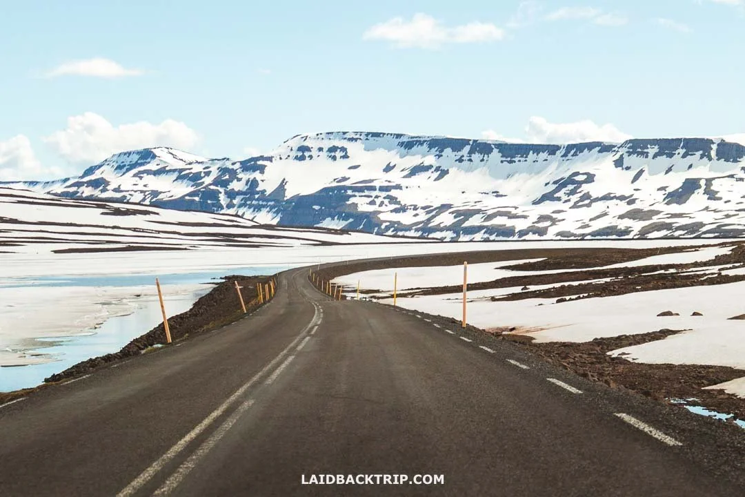
It didn't take long before Road 93 led us into Seyðisfjörður and straight into a land of ice and snow.
We were traveling to Seyðisfjörður in summer, and up to this point, everything looked exactly like summer (even places like Fjallsárlón). But on this road, everything changed. Once we climbed high enough, the scenery turned into a winter world. There was snow all around us, huge icy patches, and one big frozen lake.
It felt like we'd teleported from summer straight into winter. No other place we saw in Iceland had this kind of winter feel, not even the other East Fjords mountain pass we crossed later that day on our way to Borgarfjörður eystri, and not even the roads in the Westfjords.
Navigation said the drive should take about 30 minutes, but we spent more than an hour on this road because we stopped whenever we could to soak in the scenery and take photos. Besides the dramatic views full of snow and ice, we also stopped at Heavier Mountain, a modern art installation made of colorful blocks with mounted TVs. Eventually, the road took us across the Fjarðarheiði mountain pass before we began descending into Seyðisfjörður.
Making a Quick Stop at Gufufoss Waterfall
When we started descending toward Seyðisfjörður, we had one more stop planned: Gufufoss. Funnily enough, we missed it on the way down. We expected a larger parking lot, but there was only a tiny unmarked pull‑off. There wasn't a safe place to turn around, so we visited it on our way back to Egilsstaðir. The only catch was that we went to Hengifoss afterward, so we ended up visiting two waterfalls in a row, but honestly, it didn't matter at all.
Even from the parking lot, we could see that Gufufoss was pretty powerful, especially at the start of summer when Fjarðará is at full strength. The walk took maybe two minutes since the trail was only about 150 meters long before ending at the river.

Gufufoss was just a quick stop on our way to Seyðisfjörður, but it was too beautiful to pass by.
At roughly 27 meters tall, the waterfall was impressive. And while "Gufu" in Icelandic means steam, there wasn't much spray coming our way that day. We were glad, because this was one of the few places we visited without rain gear, so staying dry felt like a small victory.
Gufufoss was a quick stop, but we still stayed for about 20 minutes. We had the place entirely to ourselves, and when we looked back toward the fjord, the views with Fjarðará were just as dramatic as the waterfall.
Even though Gufufoss is often overlooked and overshadowed by Iceland's more famous waterfalls, we loved these "smaller" ones because they were just as amazing as the big names. Our next stop was Hengifoss, but for the sake of this post, we'll continue with Seyðisfjörður.
Exploring the Charming Seyðisfjörður
At first, we were torn about whether Seyðisfjörður was worth visiting. It wasn't on the Ring Road, which meant taking a detour. And unlike places like Tröllaskagi that we visited later, Seyðisfjörður was an in‑and‑out trip because Road 93 simply ends there.
On top of that, we've lost count of how many times we've heard about a town described as charming, full of traditional architecture, with fishing history, set in a breathtaking location, and wrapped in a peaceful atmosphere. For us, this is always one of the biggest questions when traveling, whether it's Iceland, Ireland, or Denmark.
But up to this point, we'd focused only on nature. We'd seen waterfalls, geysers, tectonic plates, lava fields, beaches, and now fjords. So when we reached Egilsstaðir on a beautiful sunny day, a town that didn't leave much of an impression on us, we decided this might be the chance to finally see what people mean when they talk about picturesque Icelandic towns.
Seyðisfjörður was optional, and had we arrived a day earlier, when the coast was getting hammered by rain, we would've definitely skipped it and looked for hot pools instead. Luckily, the weather was on our side.

Besides its stunning fjord setting, Seyðisfjörður is mostly known for its Blue Church with a rainbow walkway.
I already talked about scenic Road 93 and how much we enjoyed it, and also about the beautiful Gufufoss Waterfall. I'm mentioning it because, when put together, Seyðisfjörður was the last piece of the puzzle. The town really was charming, and its setting between Mt. Strandartindur (1010 m) and Mt. Bjólfur (1085 m) was as dramatic as it gets. But I have to admit that traveling to Seyðisfjörður just to see the village would probably leave us wanting a bit more. The truth is that the town is tiny.
It has traditional Icelandic houses, the Blue Church with its photogenic rainbow walkway, but it takes maybe 15 minutes to see it all. Sure, there are a few more waterfalls and easy trails around, and for first‑timers like us, only Vestdalsfossar caught our interest, but we didn't have time to explore it. Seyðisfjörður also has an artsy scene and some handicraft stores, but that didn't really grab our attention. Still, when you combine everything, the drive, the waterfall, the setting, and the town, Seyðisfjörður became one of our favorite stops in the East Fjords.
Because the town was so quiet, I wished we could've stayed to see a sunset over the fjord. There's a campground and a few cozy hotels and guesthouses. But since we arrived around noon, it didn't make much sense. One last thing worth mentioning is that since our visit, Seyðisfjörður has become a very popular cruise stop, with ships docking almost daily now. We'd definitely check the Ports of Múlaþing schedule before visiting. I can imagine that when a few hundred or even a few thousand tourists arrive, the village of 700 people would feel completely different.
Hiking the Hengifoss Trail
After we were done with Seyðisfjörður, we had to return to Egilsstaðir via Road 93 simply because there was no other route. We didn't mind, though, since it meant enjoying the drive one more time. And once again, we didn't just zoom through but made a few more stops too. When we arrived in Egilsstaðir, the afternoon was already in full swing. Hengifoss was, just like Seyðisfjörður, on our list as optional. But because it was such a beautiful day and we still had time and energy, we didn't have to think twice about making a detour to this waterfall.
The partly sunny conditions weren't the only thing that convinced us. We had been on the road since morning, and most of that time was spent driving. Sure, we made plenty of stops, explored Gufufoss and Seyðisfjörður on foot, but those were all short walks. And Hengifoss promised a proper hike. The 4.4‑kilometer trail with an elevation gain of 250 meters wasn't the hardest hike in the East Fjords, but it was a hike nevertheless. And because it looked like we could finish it in about two hours, it fit our plans perfectly.
So from Egilsstaðir, we joined Road 95 and after a few kilometers turned right onto Road 931. In about 30 minutes, we were pulling into the paid parking lot at the Hengifoss trailhead. First, we made ourselves a filling lunch and took a short break, but with the sun beating down on the East Fjords, we were eager to start hiking. When I said the weather was great, I meant it, because this was one of the few places where we hiked in our T‑shirts the whole time.
The trail from the parking lot led uphill the entire time, with the first part being steeper than the rest. After a while, we reached Litlanesfoss, another beautiful waterfall along the trail. Unlike the Waterfall Way, where the upper falls were nice but not as impressive as Skógafoss, it was a different story here. The waterfall, surrounded by massive basalt columns created by volcanic activity, was just as impressive as Hengifoss. We had seen similar formations at Svartifoss in Skaftafell or Selfoss on the Diamond Circle, and each time it was an incredible spectacle.

After several hours on the road, Hengifoss was exactly the kind of hike we needed.
After Litlanesfoss, we continued further up the valley. The trail climbed steadily before leveling out a few hundred meters before Hengifoss. The valley was beautiful, and we could see Hengifoss ahead. At almost 130 meters tall, it was one of the highest waterfalls in Iceland, right after Glymur and Morsárfoss. The view from the end of the trail, with Hengifoss gushing from the high cliff, was really impressive. But it wasn't just the height that made it interesting. Hengifoss also had red clay layers running through the dark basalt rock, another unique sign of its volcanic origin.
When we were finally ready to return, we had to take the same trail back. But since our visit, they added a wooden bridge across the river so you can loop instead. Normally, returning along the same trail wouldn't be something we'd really enjoy, but in Iceland it was different. Because the trail was open the entire time, we could enjoy the stunning views the whole way back.
World Nomads provides travel insurance for travelers to cover their trip essentials, including sports and adventure activities.
SafetyWing is affordable travel insurance for backpackers, long-term travelers, and digital nomads.
Driving the Scenic Road 94 From Egilsstaðir to Borgarfjörður eystri
From Hengifoss, we had to return to Egilsstaðir. Because the western part of Road 931 that encircles Lagarfljót was unpaved when we were there, we simply took the same route back. Now that even that part is paved, we would just follow it to loop back to Egilsstaðir, but in the end it really didn't matter. When we were back in town, our final destination was waiting for us.
We had already traveled Road 93 and Road 95, so the last thing left was taking Road 94, which would eventually bring us to Borgarfjörður eystri. Since we were still in the Eastern Region, we had one more fjord to explore. And this one wasn't just home to stunning scenery like the ones we saw earlier but also to a big puffin colony. Between the nesting Atlantic puffins and us were 75 kilometers of yet another scenic drive.
From Egilsstaðir we headed north, and the first half of the route was on an unpaved washboard that gave it a small sense of adventure. This stretch wasn't as interesting as the fjords we saw earlier, so we just enjoyed the bumpy ride for about 40 kilometers until the road turned right and we had one last mountain pass to tackle. We followed the gravel road all the way to Vatnsskarð pass, where we had to stop and take in the views.
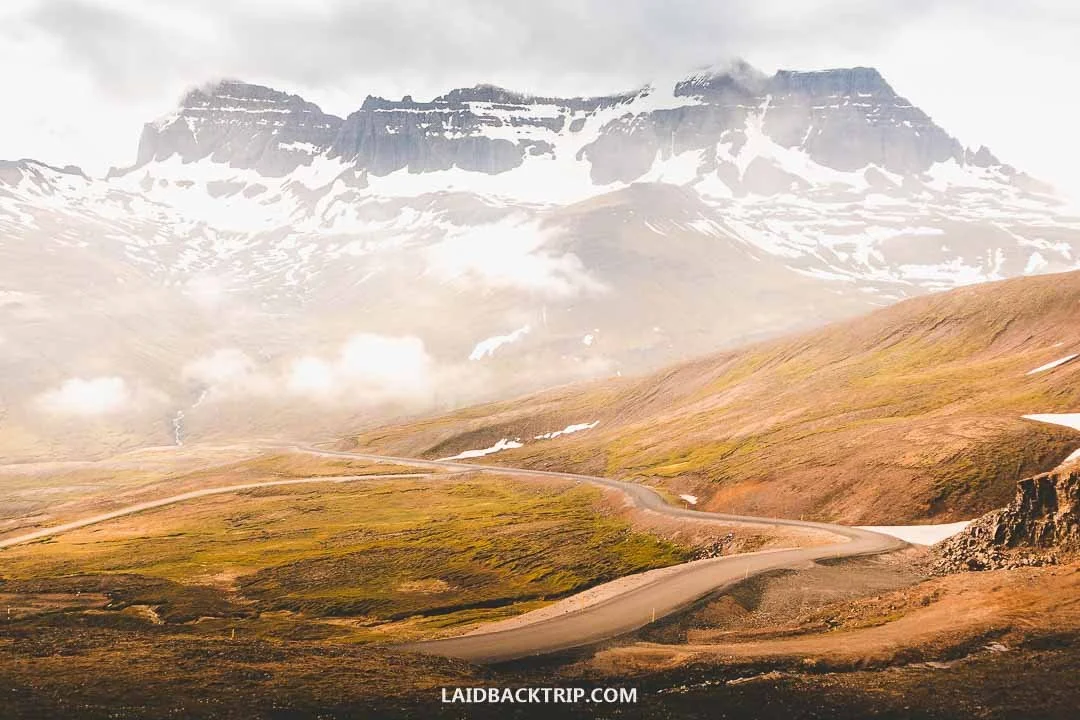
Driving Road 94 from Egilsstaðir to Borgarfjörður eystri turned out to be one another highlight of our East Fjords trip.
Ahead was Njarðvík, a stunning coastal valley with a zig‑zagging paved road, and when we turned around, we could see Héraðsflói bay with the vast delta plain of Jökulsá á Brú and Lagarfljót rivers. Once on the other side of the pass, we soon reached Borgarfjörður eystri. Now the whole Road 94 is paved, so getting there is easier than ever, though I'd be careful about doing this trip in winter.
Because puffins nest in Borgarfjörður eystri only between May and August, we traveled there at the end of June. We mainly wanted to see the puffins, but after seeing how beautiful the whole area was, we'd probably consider taking this drive even outside the puffin season. I have a feeling that seeing the Northern Lights here would be an unforgettable experience. We also knew Borgarfjörður eystri was a good place for hiking, with interesting trails like Stórurð and Dyrfjöll, but we didn't have time for that.
Since it was already evening, the fjord was really quiet and the road mostly empty. We slowly made our way toward Bakkagerði, one of Iceland's most remote villages. The last interesting thing we learned about Borgarfjörður eystri on this trip was that it was supposed to be home to a big population of elves, at least according to Icelandic folklore. Eventually, we camped in Bakkagerði, and right next to the campground was Álfaborg, also known as Elf Rock. Here, Borghildur, queen of the Icelandic elves, lives on top of Álfaborg. We didn't see her, though.
Watching Puffins at Hafnarhólmi
After a very long day, we were almost at Hafnarhólmi. It was one of those days that felt incredibly long, yet we wished it still had a few hours more. It was also one of those moments when we wished we had more than two weeks in Iceland, but that simply wasn't possible. Once we drove past Bakkagerði, all we had to do was follow Road 94 until its very end. Our final destination was Hafnarhólmi, a small islet that was home to a big puffin colony.
By the time we made it there, it was already past 9 PM. The sunny conditions stayed with us even at this hour, and we could enjoy one of the East Fjords' most incredible places without worrying about what the next hour would bring or needing to put on our rain gear.
From the parking lot, it was just a short walk to a nesting site with hundreds (maybe thousands?) of puffins. These beautiful birds are best seen either in the morning or in the afternoon or evening, since during the day they go hunting out on the sea. That worked perfectly for us, since Hafnarhólmi was our last stop of the day.
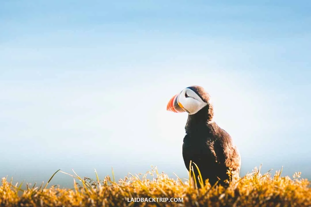
We spent the second evening watching the puffins at Hafnarhólmi.
One downside of traveling to Iceland in summer was that we had practically zero chance to watch the Northern Lights. The upside was that this time of year is perfect for watching puffins, who use Iceland as their nesting ground between April and August. We heard that Borgarfjörður eystri, and especially Hafnarhólmi, was one of the best places in the country to watch them in their natural habitat. But when we saw how tiny the islet was from a couple hundred meters away, we had our doubts.
Hafnarhólmi was accessible through a wooden boardwalk with steps, no more than 100 meters long. It also had a bird‑watching shelter, but because we arrived on a calm day, it wasn't needed. All our doubts disappeared the moment we stepped onto the islet, which is connected to the mainland by an artificial causeway.
The islet was packed with puffins. They were everywhere we looked, and unlike Látrabjarg or Dyrhólaey, where we saw them too, they were right next to the trail. And because the boardwalk was slightly elevated, some even dug their burrows practically under it. We visited in early summer, and the islet was teeming with life (not just with puffins, of course).
While Hafnarhólmi was tiny and the whole trail could have been done in just a few minutes, we spent about two hours on the islet, watching the puffins and taking in all the fjord views. It was after 11 PM when we left, and thanks to the midnight sun, the whole fjord looked like something out of a fairy tale.
Spending the Night at Bakkagerði
After Hafnarhólmi, we basically had two options. We could spend the night in Bakkagerði or return to Egilsstaðir. The latter, being an important tourist hub, had a good variety of accommodations like Hotel Valaskjálf and Hotel Hallormsstaður, while the former had just two places, Blabjorg Resort and Álfheimar Hotel. However, we camped in Iceland, and since both places had campgrounds, there wasn't much difference between them apart from Egilsstaðir having a few more options outside town.
Because midnight was knocking on the door, the evening was as beautiful as it could be, the scenery was beyond words, and we had been on our feet since early morning, we opted to stay in Borgarfjörður eystri. The Bakkagerði campground might have been a bit more basic, but with a hot shower, toilets, and a shared kitchen, it had everything we needed. Plus, it had something more. We didn't have to stay in Egilsstaðir to say that Bakkagerði was set in the more beautiful scenery of Borgarfjörður eystri.
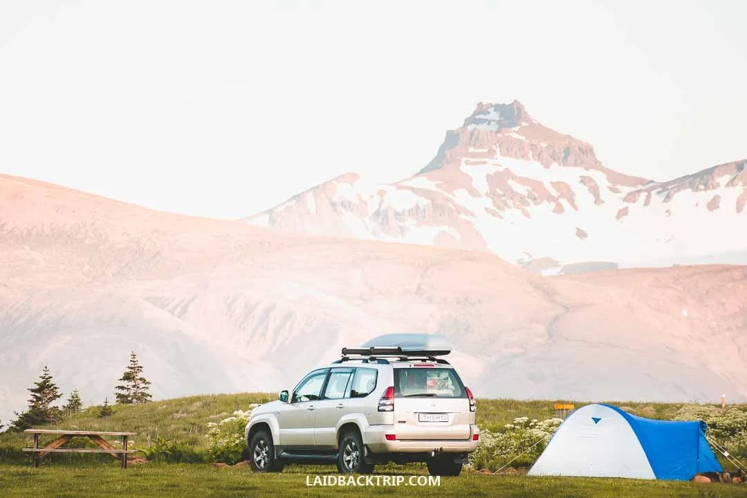
We spent our second night camping in Borgarfjörður eystri, surrounded by the stunning fjord.
The next day we were leaving the East Fjords and heading to North Iceland. It almost felt like we didn't want to. Not because we weren't excited to see a different region and some of its highlights like Dettifoss or the Hverir Geothermal Area, but simply because we loved our journey across the East Fjords. But as I said, there was no way around it. And on the bright side, we had a few more adventures ahead.
Besides the two places I already mentioned, we explored the whole Lake Mývatn area and finally took the whale‑watching trip we had wanted to do for years. Before we said farewell to the East Fjords, we still had one more adventure left. We had to drive the stunning Road 94 back to Egilsstaðir, where we once again joined the Ring Road.
Travel Resources
Here you can find links to all the travel resources we use and which you might find helpful when planning your next holiday.
Accommodation: When looking for accommodation, we usually search hotels via Booking.com or Hostelworld.
Tours: Although we love to travel independently, some places are better to visit with a guided tour.
We prefer GetYourGuide for its easy-to-use interface and solid reputation. Another great alternative is Viator.
Rental Cars: When going on a road trip, we always use Rentalcars.com, a reliable site for booking a rental car in advance.
Flight Tickets: When looking for flight tickets, you can search Skyscanner to find the best price.
Travel Insurance: World Nomads and SafetyWing cover against risks of travel.



Explore Hverir with our guide that explains how to visit the geothermal field, describes the Námafjall hike in detail, and shares practical advice on what to expect, how to get there and when to visit for the best experience.